The success of marine projects depends on knowing the underwater topography with millimetric precision. We provide high-resolution bathymetric measurements and 3D seabed mapping services using advanced sonar technologies and GPS systems for ports, piers, pipelines, and dredging areas.
Technical Application and Analysis Scope
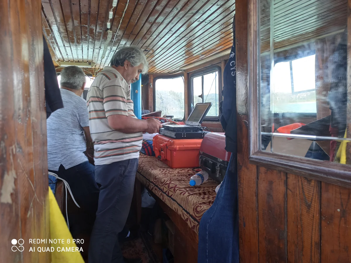
Single-Beam and Multi-Beam Surveys: Acoustic scans performed with high-frequency sound waves to determine the depth and form of the seabed.
3D Seabed Mapping and Modeling: Processing measured data with engineering software to create topographic maps, slope analyses, and 3D models of the sea floor.
Volume and Cubature Calculations: Precise calculation of the amount of material removed or filled by comparing pre-and post-dredging surveys.
Object and Debris Detection: Locating and sizing wrecks, pipelines, cables, or natural obstacles with precise coordinates.